The capital city of Jordan is Amman, which has a population of approximately 2 million. The national population is 6,407,085.
The whole country, has a an altitude above 300 meters (984 feet), with the exception of the Jordan Rift Valley which leads down to the Dead Sea. The Rift Valley is the hottest part of the country, particularly in winter when its temperatures remain relatively warm. Amman, by contrast, can see snow, and cold temperatures with precipitation are common in the winter. Average daytime winter temperatures are 13 degrees, a far cry from the sweltering desert heat that most Westerners think of when they imagine the Middle East. The summers in Jordan, however, are indeed very hot and dry.
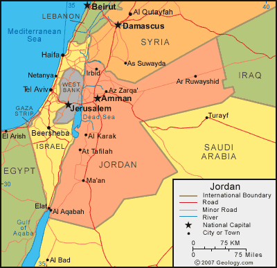
Here you can choose a map of Jordan that suits your needs

This map of Jordan below is great for tourists because it marks the most important historical sites in the country.

I hope the above Jordan maps inspire you to visit the Middle East. It`s a magical place that sparks the imagination.


.png)

0 Comments