When you think of Texas, you might think of dry desert land and tumbleweeds blowing in the wind, cowboys riding on horses, and people firing rifles. But Texas is a lot more than just wild frontier, which becomes evident when you visit the huge major city of Houston. Houston is the fourth largest city in the United States, after New York City, Los Angeles, and Chicago. With a population of 2.1 million it is hardly the rural frontier you may have been picturing a moment ago. The Houson-Sugar Land-Baytown metropolitan area is the sixth largest in America with around 6 million people.
Houston is located bnear the Gulf of Mexico and has a humid subtropical climate. On average, over 99 days per year see temperatures above 32 degrees celsius (90 degrees F), which may not sound blistering hot but remember the humidity can reach over 90 percent relative humidity. The hottest temperature on record in Houston was 43 degrees celsius (109 degrees F). That is far from the hottest temperature recorded in the US, but Houston`s consistent year round relative heat is what it is known for. In winter, the high temperatures hover around 17 degrees celsius, with cold nights reaching as low as 4 degrees celsius. So Houston isn`t always hot, but is hotter than most places.
Here you can find a map of Houston Texas for your information and reference.


This Houston map shows the central part of the city without all the outlying areas.
Houston is located bnear the Gulf of Mexico and has a humid subtropical climate. On average, over 99 days per year see temperatures above 32 degrees celsius (90 degrees F), which may not sound blistering hot but remember the humidity can reach over 90 percent relative humidity. The hottest temperature on record in Houston was 43 degrees celsius (109 degrees F). That is far from the hottest temperature recorded in the US, but Houston`s consistent year round relative heat is what it is known for. In winter, the high temperatures hover around 17 degrees celsius, with cold nights reaching as low as 4 degrees celsius. So Houston isn`t always hot, but is hotter than most places.
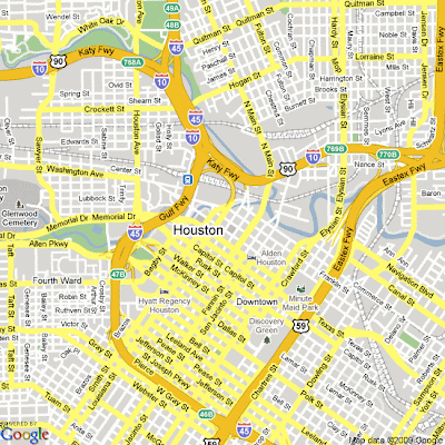
Here you can find a map of Houston Texas for your information and reference.


This Houston map shows the central part of the city without all the outlying areas.


.png)

0 Comments