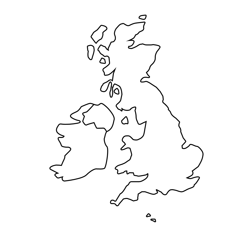
Look down below for a printable blank map of the UK. These are great maps for teachers to use for geography activities and worksheets, like having students label the nations or counties or cities on the map. They`re also good for parents to give their kids something to color that isn`t totally mindless like Spongebob.
The maps show the United Kingdom of Great Britain and Northern Ireland, and the first and third maps also show the Republic of Ireland as well, I guess just because it`s bordering Northern Ireland. Don`t worry, Irish folks, these maps aren`t intended to suggest that the UK is coming for you next!
The UK is the 80th largest country in the world, and the eleventh largest in Europe (sorry Brits, I know you don`t like being called part of Europe!) with an area of 243,000 square km. For Yanks that is equal to 98,300 square miles. The country`s population is around 64.5 million people, making it the 22nd largest country in the world.
The UK is made up of four countries, namely England, Scotland, Wales, and Northern Ireland. Scotland, Wales, and Northern Ireland have a fairly large degree of regional autonomy under the process of "devolution".


.png)

0 Comments