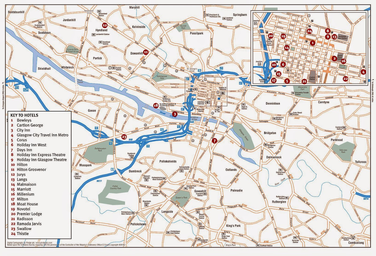
If you want a map of Glasgow, Scotland, then look no further than the bottom of this page. Having a metro population of 1,209,143 Glasgow is the largest city in the country of Scotland, and if you consider Scotland to be part of the UK, then Glasgow is the fifth largest in the UK (based on metropolitan population). The city is located in the West Central Lowlands, on both banks of the River Clyde.
Glasgow grew into a large city with the industrial revolution, becoming an important port for the British Empire, and important in shipbuilding and marine engineering. Today it is one of the most important financial centers of the European Union. It is, however, still quite an industrial and working class city.
The climate of Glasgow of oceanic, with summer temperatures generally under 20 degrees. Winter temperatures generally hover between 2 and 9 degrees, making it cold but generally not freezing - although there are freezing days. There is a lot of overcast weather even throughout the summer.
Here is a good detailed roads map of Glasgow to help you get around. The map looks small, but if you click on it and zoom in you can get a good up-close view of the streets and their names.
Next is a tourist map of Glasgow showing where important hotels are located in the central area.
How did you find these maps? Are they what you were looking for? Let me know in the comments below!


.png)
0 Comments