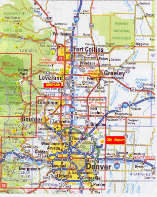
Below you can check a Denver map to help you during your visit to Colorado.
Denver is the 26th biggest city in the United States. It is a consolidated city-county, which means that the entire county and city were merged into a single unit - making it a very large city that incorporates its former suburbs. The city-county`s population is 600,158, and the metro population is around 2.5 million.
Denver is located in Colorado, a mountainous state known for its alpine terrain and climate. The city is situated between the Rocky Mountains (which lie to the west) and the High Plains (which lie to the east). Denver is located at the foot of the Rocky Mountains, but not in the Rocky Mountains, so its climate is not as cold as you might expect. In the winter there is snow, but it usually ends and melts fairly quickly. Temperatures don`t typically stay below zero for long. Winters are usually sunny and dry. Summers are warm to hot.


Were the above map of Denver images useful? I sure hope so! And I hope you check out our other maps if there is any other country or city map that you need.


.png)
0 Comments