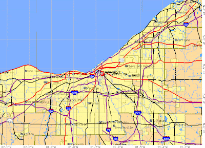
Down at the bottom you can find a good Cleveland Ohio map for your reference.
Cleveland, Ohio is the county seat of Cuyahoga county. It is situated on the southern shore of Lake Eerie. It is the 45th most populous city in the United States, with a total of 396,815. That only includes the city proper, while the metropolitan area of Greater Cleveland has a total of 2,250,871, making it 14th most populous metro area in the city.
Similar to many places in the central areas of the United States, Cleveland has a climate that is hot and humid in the summers but cold and snowy in the winters. This is typically referred to as a humid continental climate. The city covers a total of 82.4 square miles (in kilometers, that is 213.4). The city is 569 feet (or 173 meters) above sea level, but it lies roughly parallel to Lake Eerie`s shores, as the city is built upon a series of bluffs.


Did you manage to choose a good map of Cleveland Ohio from above? Be sure to check out our other USA City maps and other categories.


.png)
0 Comments