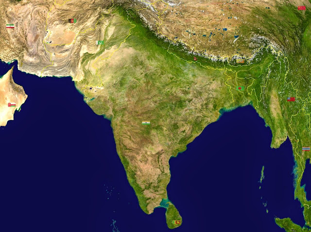
South Asia is, like it sounds, a region in the southern part of the continent of Asia. It's exact definitions depend on the authority, but it usually includes all of the following countries: India, Pakistan, Bangladesh, Bhutan, Maldives, Nepal, Sri Lanka, and British Indian Ocean Territory (also known as Chagos Islands). Countries sometimes included are Afghanistan, Myanmar, and even Iran (by the UN's definition). I would ignore those choices myself, because they clearly fall into other regions.
The core countries of South Asia have clear cultural and historical links to each other. Specifically that`s India, Pakistan, and Bangladesh (though others, as well, to varying extents). Pakistan and Bangladesh used to be part of India, before India was partitioned into Hindu and Muslim states by the British in 1948. The partition caused a large exodus of Muslims from areas now in India to those now in Pakistan and Bangladesh, and an exodus of Hindus fleeing in the reverse direction. Thus you have a situation in which there are many people in Pakistan and Bangladesh who originate from the same places in India as Hindi Indians. Traditions, language, food, and music all have strong bonds between these countries. The differences are religious and political.
Have a look at the maps below. Here are some South Asia physical maps for reference.
I hope you found these South Asia physical maps useful. LIKE, SHARE, or TWEET this page if you found it useful! ;) Thanks!


.png)
0 Comments