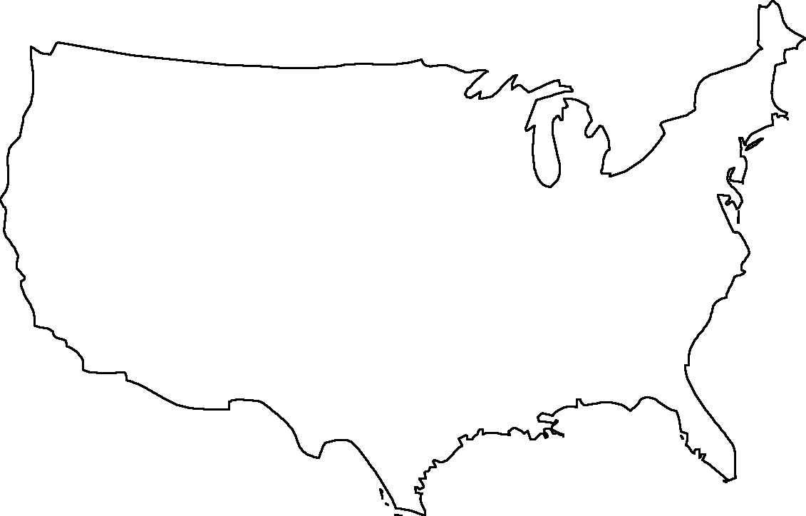
Free printable maps of the USA. Some maps show US states, others show major cities, and others are BLANK printable map of USA, with no labelling. We hope you find these printable maps useful. They are freely downloabale for non-commercial use.
The United States of America is a country that obviously needs no introduction. To this day it is still the most influential country in the world, with the largest economy (though China is now a competitor) and a very active role in world affairs that allies the US with important countries around the globe.
There are 50 states in the United States, even though some people make the mistake of thinking that Alaska and Hawaii bring the total up to 52. Peurto Rico could bring the number up to 51 if it someday opts to become a full state, but for now it is still a territory that is not fully an American state (though its residents are full US citizens). Find maps of the USA and its 50 states below.
We hope you found these printable map of the USA useful. We will be adding new kinds of maps daily, so bookmark or subscribe and check back often.


0 Comments