Texas is a state located in the southern United States. Nicknamed the "Lone Star State", it is the second largest and second most populous US state. It has a total land area of 268,820 square miles (696,241 km²), and a population of 23,904,380 (it is second to California). Though Texas is the second most populous state, it is also large so its population density isn't very high. By population density it is ranked #26 in the US.
The capital city of Texas is Austin (population 743,074), but the largest city is Houston (population 2,208,180, metro population 5,628,101), and the largest metro area is Dallas-Fort Worth-Arlington (population 6.1 million). The city of Dallas by itself has 1,232,940 people, making it third most populous.
Here are some maps of Texas state. Click on the maps to zoom in even more (these maps are pretty huge).


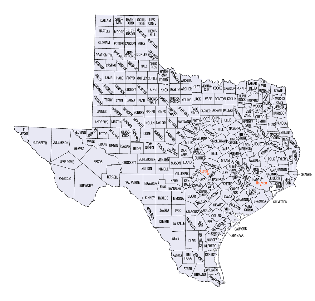
These maps of Texas are quite large and detailed, so hopefull you get the information you're looking for.
LIKE and SHARE this page if you found it useful. It`s a big help for our website. :) Thanks for the support!
The capital city of Texas is Austin (population 743,074), but the largest city is Houston (population 2,208,180, metro population 5,628,101), and the largest metro area is Dallas-Fort Worth-Arlington (population 6.1 million). The city of Dallas by itself has 1,232,940 people, making it third most populous.
Here are some maps of Texas state. Click on the maps to zoom in even more (these maps are pretty huge).
These maps of Texas are quite large and detailed, so hopefull you get the information you're looking for.


0 Comments