 USA State Maps
US Electoral College Map
The winner of the 2020 presidential election will be the candidate who manages to get…

In this flag map of India you can see the flag of India superimposed over the geographic map of India. India is a huge country, with an a…

This is a flag map of Texas, the Lonestar State. The map shows the state flag superimposed over the geographic Texas map. The three colors …
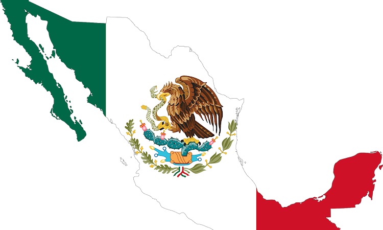
In this flag map of Mexico you can see the flag of Mexico superimposed over the geographic map of Mexico. What does various parts of the f…

This flag map of Africa shows all the flags of African countries superimposed over the geographic continent of Africa. This map is more of …
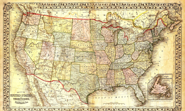
Here you can see a vintage map of the United States of America, as well as the southern portion of Canada across the border (and the nort…
USA State Maps
The winner of the 2020 presidential election will be the candidate who manages to get…


